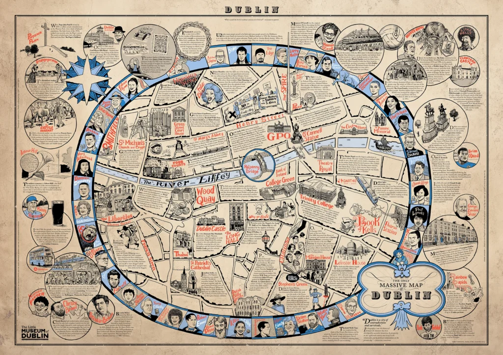
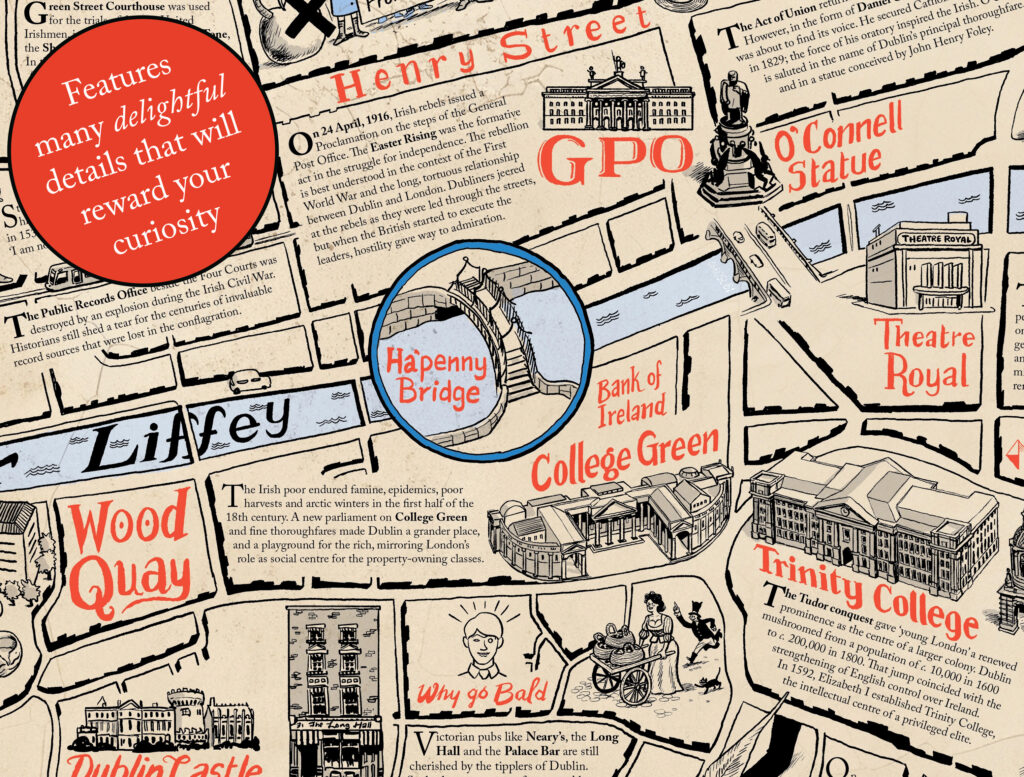
The Only Massive Map of Dublin is a new addition to Irish cartography. Unashamedly quirky and wildly ambitious – the history of a city on a single piece of paper!

There is nothing new about mapping Dublin. People have been doing it for over 400 years. Today, you can see every building up-close on your phone, but for all the power of Google Maps, there is something charming about an old-fashioned chart.

This intricate and absorbing A1-sized map, measuring 841mm by 594mm, is printed on 190gsm uncoated paper stock. Produced in limited quantities, order your copy today.
Illustrated by Philip Barrett, with text by Trevor White and Daryl Hendley Rooney of The Little Museum of Dublin.
